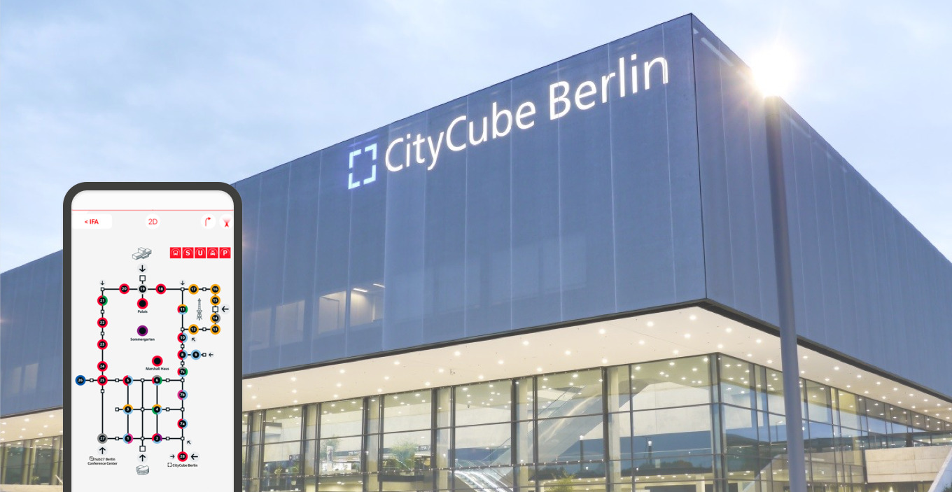
Berlin ExpoCenter City
Wayfinding and Orientation System
Messe Berlin is one of the largest trade fairs in Germany, with 170,000m² of hall exhibition space and an outdoor area of 100,000m². The site and building structure, which has grown over decades, offers an exciting, city-like environment that offers visitors high an experiential character.
Moniteurs developed a comprehensive orientation concept, which is integrated into Sub-projects, such as the planning of digital signage, the event app for visitors and the concept for current and future structural redesign of the site.
Wayfinding and Orientation System
Indoor and Outdoor
Berlin since 2019
Client
Messe Berlin GmbH
Area
180.000 m² 28 partly multi-storey hallcomplexes
User
1100 regional, national and international own and guest events, 2,000,000 visitors per year
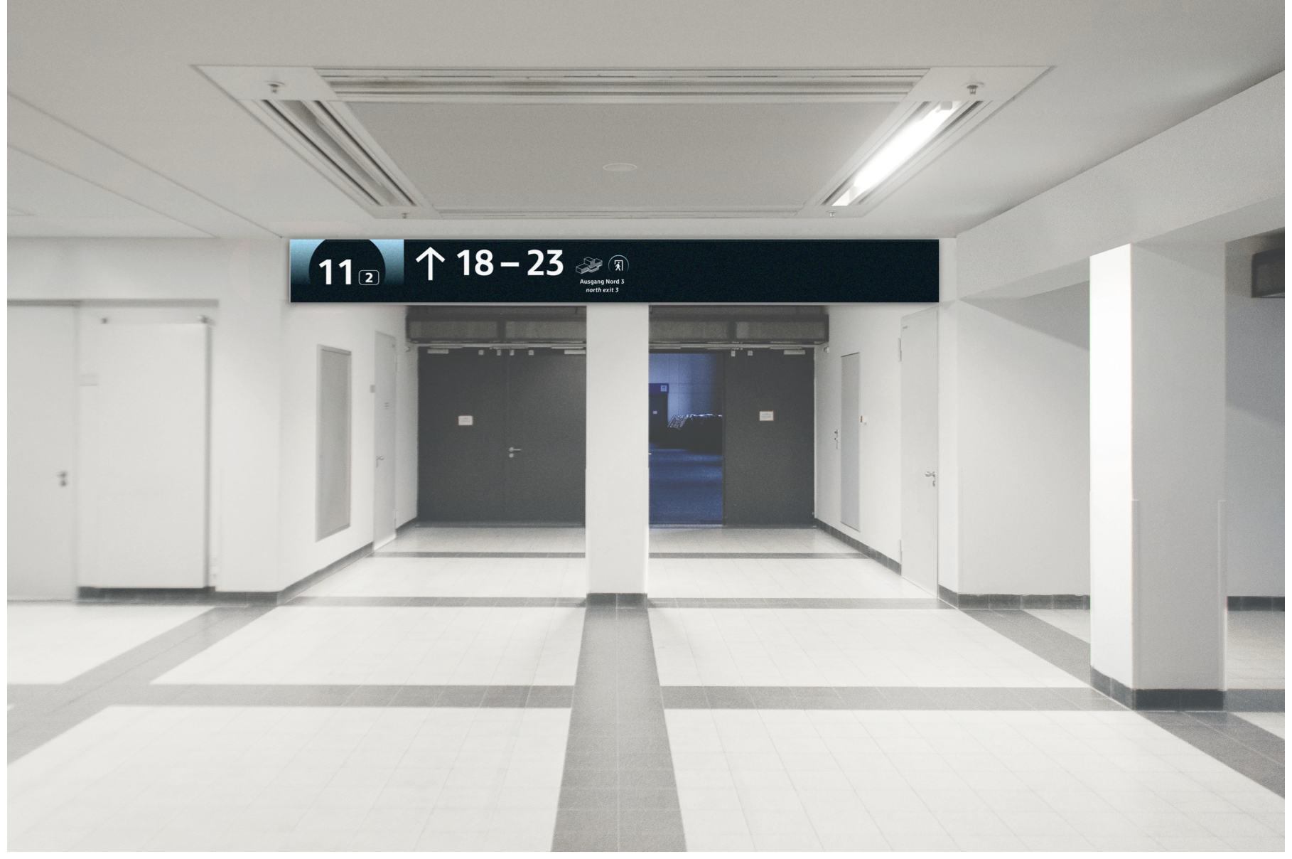
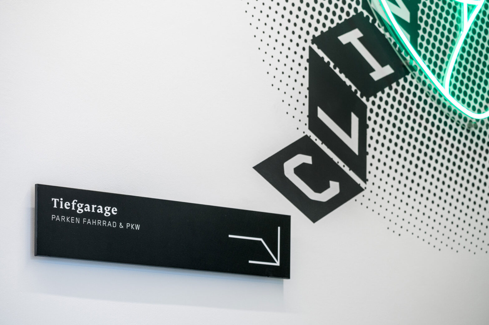
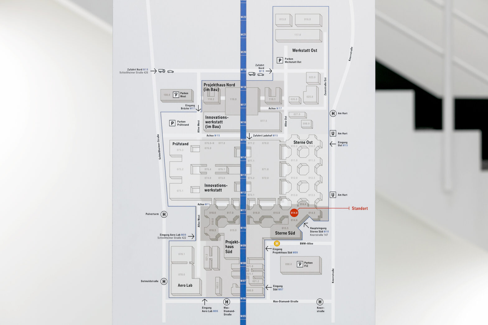
The result was a consistent, holistically designed guidance system for the indoor and outdoor areas that guides visitors – regardless of nationality, experience, aspiration and objective – fluently through the exhibition grounds. The new signage system has a high degree of flexibility in terms of both content and construction and simplifies the handling of the branded signage systems for the more than 100 events that take place annually at around 1230 signage locations.

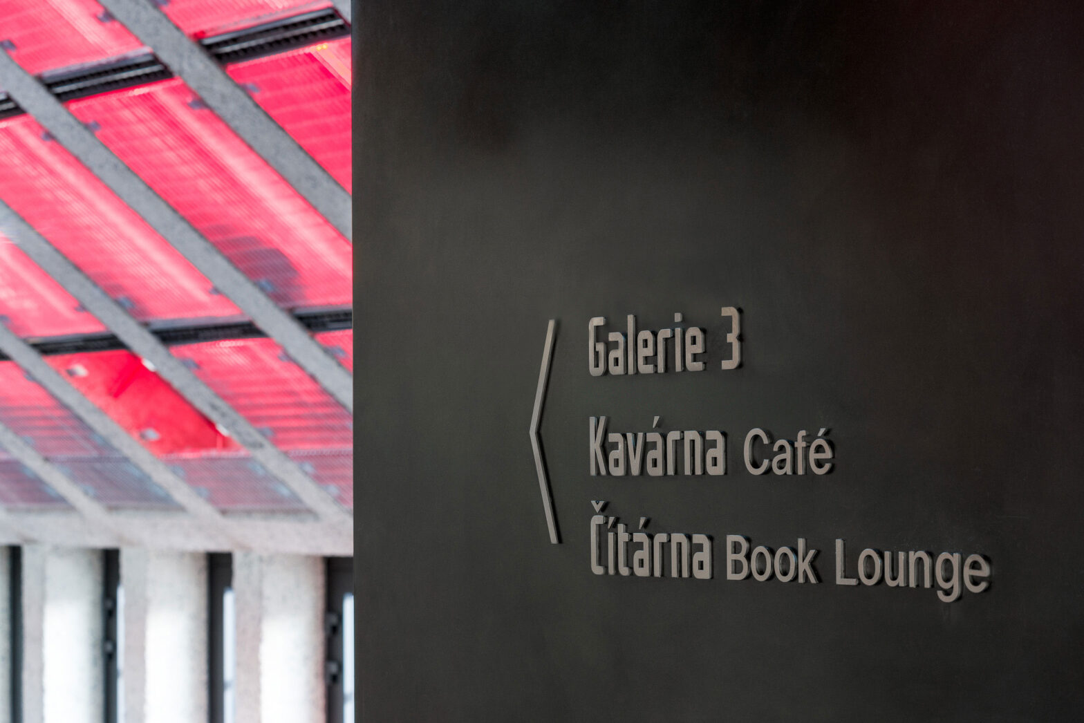
The chosen wayfinding font ”Millbank” is particularly suitable for reading from the side and allows for optimal capture of information in winding and complex buildings and is therefore ideally suited for use on the exhibition site. Moniteurs developed a pictogram family adapted to the characteristics of the font.

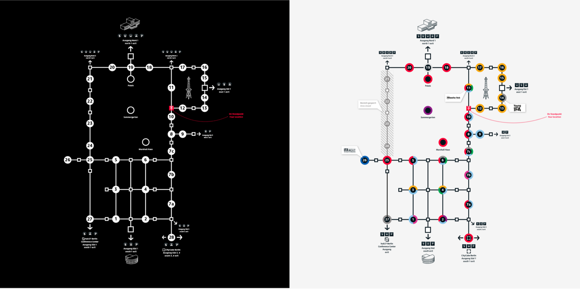
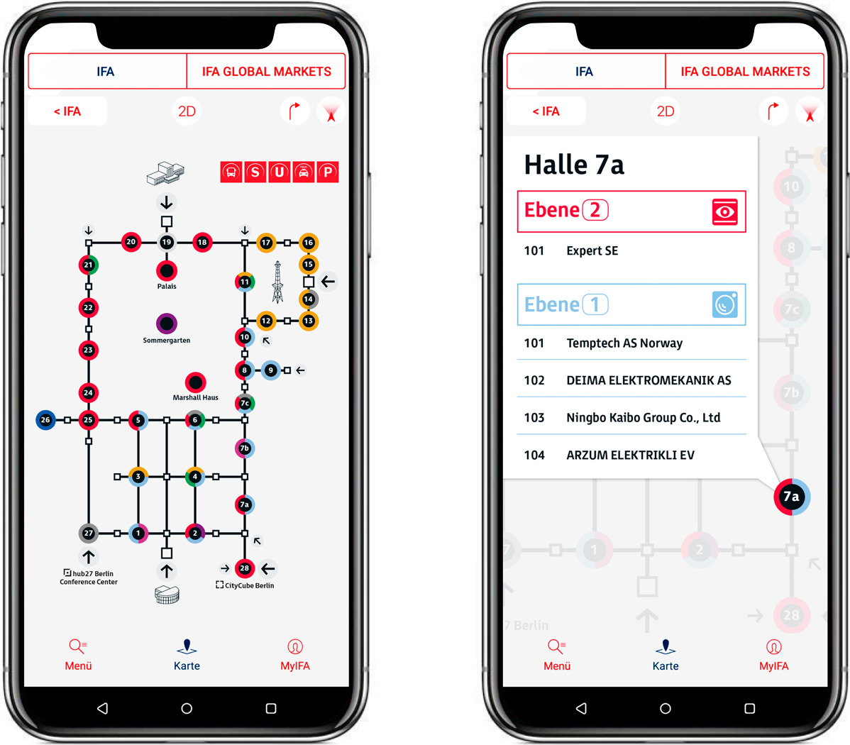
For orientation on the site, Moniteurs developed a simplification of the inhomogeneous building structure through a schematic representation – the Connector-Map. Hall connections become visible and buildings, transitions, staircases and intermediate areas are visually separated and enable a quick survey of the site.
Landmarks serve as navigation aids in the Connector-Map and in the distinctive architecture, i.e. the visual features of the landmarks are easy to remember and recognise.
